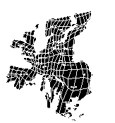
Our special competence lies in spatial analysis and simulation, geographic information systems and advanced visualisation techniques.
Our tools and models for spatial modeling, analysis and optimisation are continuously being further developed, so we always apply state-of-the-art methods for spatial analysis and data processing.
Our tools und models enable an early consideration of realistic possibilities, limits and consequences of spatial development and planning processes. Most models are scalable both spatially and in terms of content. Thus, our tools and models are solution-oriented to the respective study area and the specific purpose of a study.


